by Philips (Editor)
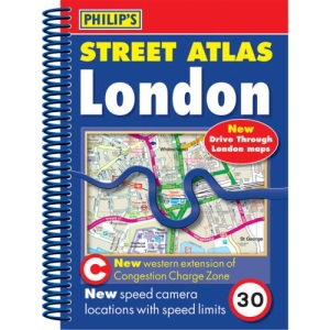
A fully revised edition of this pocket-sized spiral atlas, giving comprehensive and detailed coverage of London. The maps of central London are at 7 inches to 1 mile, with the outlying boroughs at the clear scale of 3.5 inches to 1 mile.New for this edition is the 18-page route planner, showing and naming all urban through-routes, which can be used by drivers for getting close to their destination before turning to the full detail of the relevant street map page.The street maps show every named road, street and lane clearly, with major roads picked out in colour. The maps show postcode boundaries, car parks, railway and bus stations, post offices, schools, colleges, hospitals, police and fire stations, places of worship, leisure centres, footpaths and bridleways, camping and caravan sites, golf courses, and many other places of interest.The comprehensive index lists street names and postcodes, plus schools, hospitals, railway stations, shopping centres and other such features picked out in red, while other places of interest are shown in blue.In addition there is an index of hospitals with A&E departments and an index of places of interest. There are two separate maps of central London, one detailing theatres, cinemas and shopping streets, with the second showing bus routes. A third map displays the London Underground and overground rail networks with Travelcard Zones.This atlas is suitable for both drivers and pedestrians. For drivers, route-finding in London is much easier as through-routes are highlighted, giving the user the equivalent of local knowledge of an area. Speed cameras, one-way streets and restricted turns are clearly displayed with the Congestion Charge Zone. For pedestrians, tourist sights and attractions are clearly labelled and public transport systems are featured.
Format: Paperback
Pages: 480
Edition: Revised pocket ed
Publisher: Philip's
Published: 08 Feb 2007
ISBN 10: 0540090352
ISBN 13: 9780540090358
Book Overview: The most comprehensive London atlas, naming every street. New 18-page route planner showing all main roads within the M25 area. Speed cameras and western extension of the Congestion Charge Zone. Street maps show postcode boundaries, tube and rail stations, car parks, and hundreds of places of interest. Central London street maps show one-way streets and banned turns. Bus, tube and rail maps. Theatres, cinemas and shopping map. Comprehensive index includes postcodes, schools, industrial estates, hospitals, sports centres, etc. Part of a series of street atlases which covers all of England, Wales, Northern Ireland and much of Scotland.